Andrew Hu
A run in Arequipa traced over satellite imagery from the same day: a loop around the airport on a long out-and-back linethe kiteAeropuertothe stringYanahuaraMisti, 18 km →1 kmchased for a block by a packof strays, nipping at my feet

Andrew Hu

Ideas, recollections, and things in the making.

“Flying a kite”

My final long run in Peru closed six weeks at altitude: one week in Cusco, then five in Arequipa. Then back down to sea level, for a last few days of retreat in Lima.

Imagery: contains modified Copernicus Sentinel data 2024, captured February 3, 2024, the day of the run. Terrain produced using Copernicus WorldDEM-30 © DLR e.V. 2010–2014 and © Airbus Defence and Space GmbH 2014–2018, provided under COPERNICUS by the European Union and ESA; all rights reserved.

Elevation · 22.5 km shown · +346 m drag along the profile

km 0.0 · 2,417 m

Nearby, in the same weeks

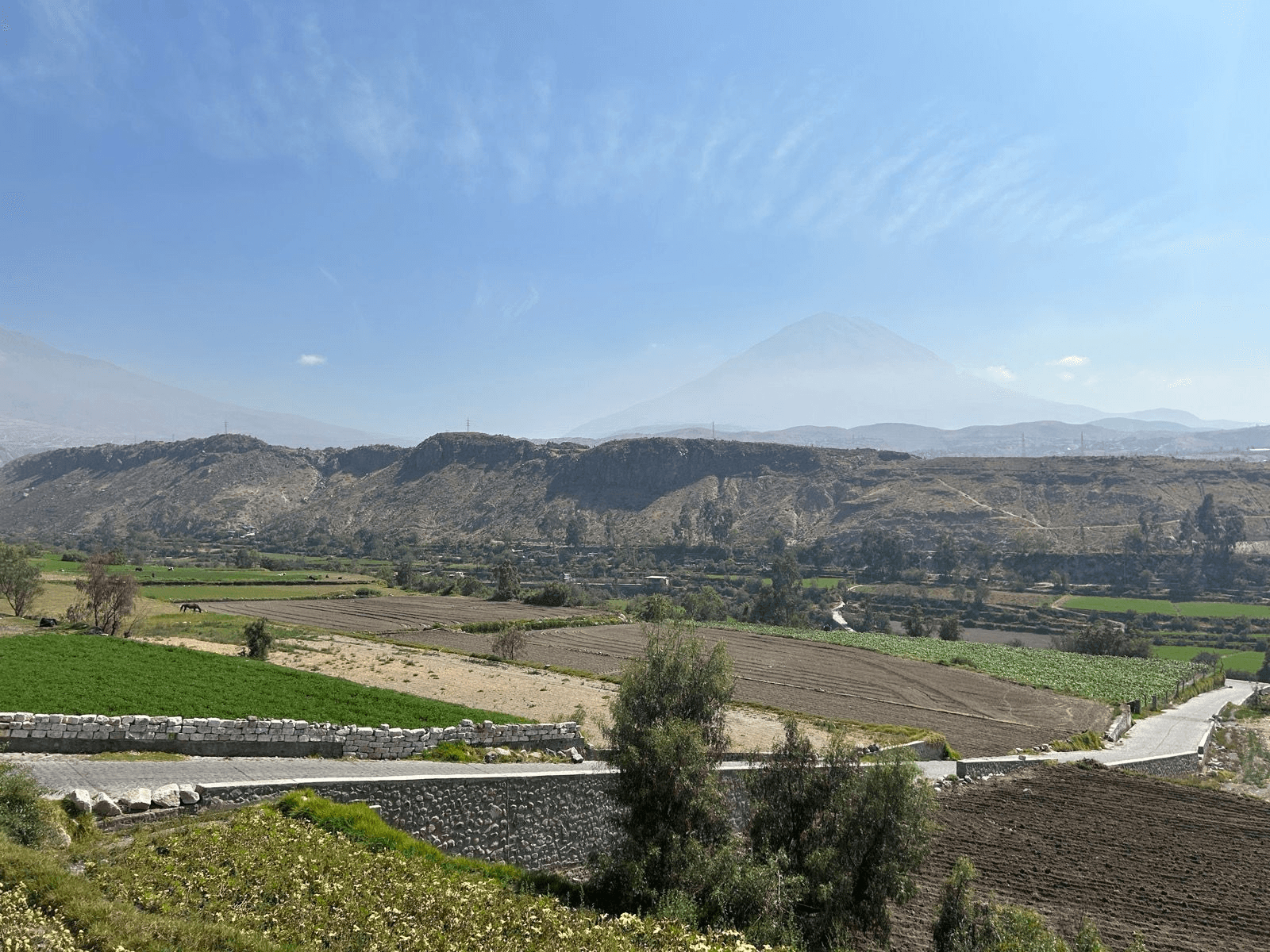
Farm fields along the Chilina River, with the volcano Misti in the distance
Pl. 1 Farm fields along the Chilina River, with the volcano Misti in the distance.
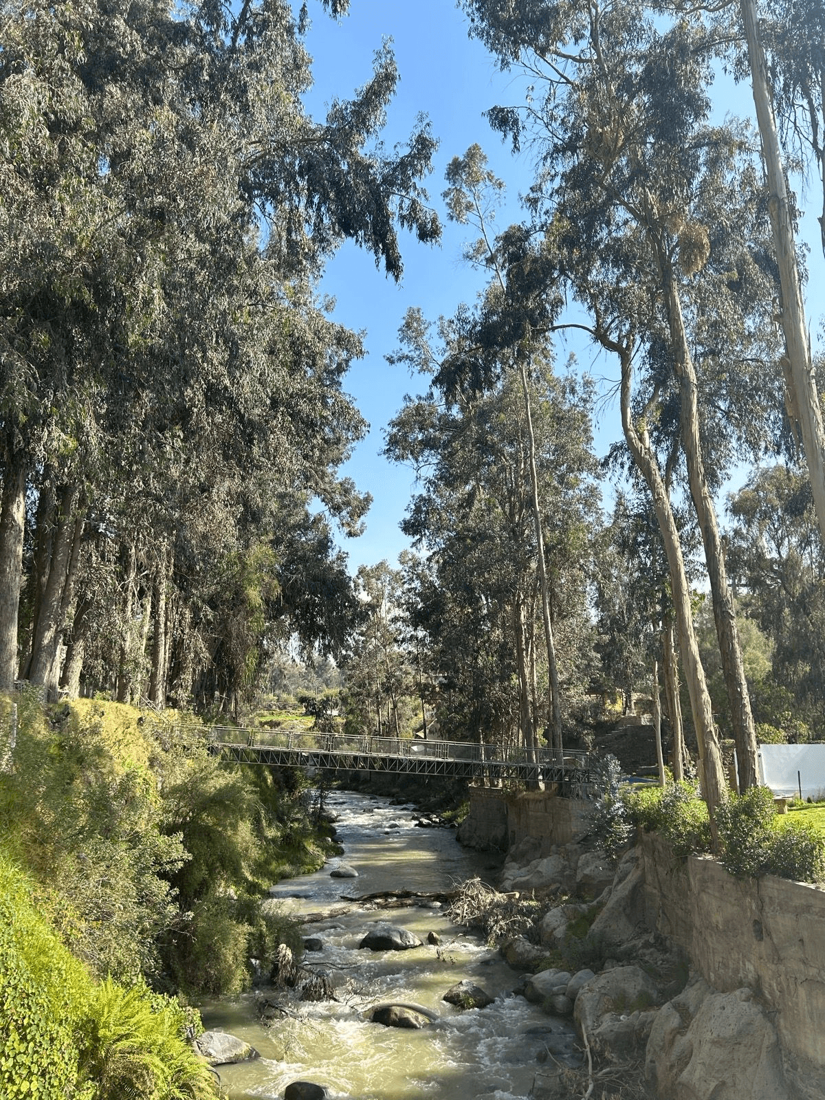
The Chilina River
Pl. 2 The Chilina River.
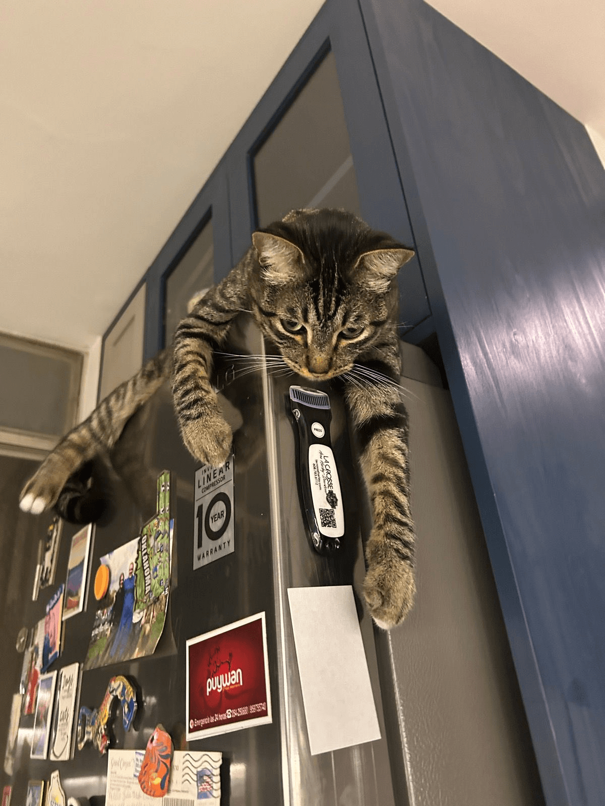
Champi, a cat
Pl. 3 Champi, short for Champiñones.

Notes

Fragments, long reads, and things noticed

  1. Note

    Peru Trip — Altitude training camp and cultural experience

    An overview of my trip to Peru at the beginning of this year.

Work

  1. Pithecene Research and engineering

    Search engines and data systems for maritime operations, civic and economic research, and financial markets.

  2. Nautilus Labs Engineering lead

    Archived site

    Carried a maritime voyage-optimization system from a research notebook into production.

  3. Indas Chief technology officer

    Built a manufacturing-analytics platform for industrial customers.

About
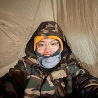
Andrew in a tent, wearing a camouflage parka and a yellow hat
Pl. 4 Kilimanjaro, before the summit ascent